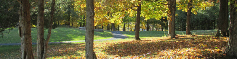
Six miles of walking and hiking trails wind past archaeological sites and offer scenic views of Lake Champlain and the countryside. The Baldwin Trail is suitable for outdoor wheelchairs and strollers. Trails can be used year round.
All trails start at the trailhead kiosk near the museum building. Get your trail guide and map in the museum.
Baldwin Trail (1.6 miles)
The Baldwin Trail, 1.6 miles long with two spur trails, circles around the southern half of Mount Independence. It features 15 stops with colorful signage interpreting the history of Mount Independence and specific locations and archeological features along the trail. Sites include two Lake Champlain overlooks, the General Hospital, two soldier huts, two blockhouses, a storehouse, southern battery defenses, a probable powder magazine, and the third brigade encampment. The trail has compacted surfaces and gentle grades, and is suitable for outdoor wheelchairs.
For the following three trails, pick up a trail map brochure in the museum.
Southern Defenses Trail (0.2 miles)
This loop begins near the parking lot and has compacted surfaces, stairs, and stone steps. It provides a look at rugged rock formations, southern Lake Champlain, and the remains of a blockhouse. A short spur trail leads to the dock for the M/V Carillon tour boat.
Orange Trail (2.5 miles)
Watch for directional signs and small colored trail markers. This loop trail, with several spurs, can be reached off the northern part of the Baldwin Trail. It goes to the northern tip of Mount Independence and is considered a moderate walking trail with grass or dirt paths. The trail has several beautiful overlooks of Lake Champlain, and goes by the barracks location for the star fort, crane site, artificers’ shops, horseshoe battery with view of Fort Ticonderoga, shore battery, bridge site, masting point, an observation shelter, another foundation, and evidence of the Native American past.
Blue Trail (2.2 miles)
Watch for directional signs and small colored trail markers. This trail can be reached off the Baldwin Trail and links up to the northern tip of the Orange Trail. It roughly follows a Revolutionary War supply road. This is considered a hiking trail, with crushed stone and dirt or grass paths, and some steep sections. From this trail you can see the crane ramp, the open meadow that was a vegetable garden, spring, foundation, stone quarry, base of the supply road, and forge area.